
Walk Frankfort Streets by Address
A reliable Frankfort street directory begins with a place, not a surname. Franklin County divides useful facts among the tax collector, Property Valuation Administrator, GIS viewer, County Clerk, planning offices, and election officials. The tax roll identifies the listed parcel owner. GIS fixes that parcel on the street. A recorded deed supplies the legal transfer trail. Other sources may suggest occupancy, but no public county page offers a complete live household list.
Keep one row for each house number. Record the parcel ID, physical or situs address, tax-mailing address, listed owner, deed reference, and any permit or code file. This prevents an owner's off-site mailing address from being mistaken for another home.
- Search the street or house number in the Franklin County property and tax systems. Choose a tax year when location mode requires one.
- Copy the owner, parcel number, situs, mailing address, legal description, district, and lot facts. Preserve each label.
- Open the parcel in the Franklin County GIS Viewer. Check the address point and lots that touch it.
- Use the current owner's name and legal description in the County Clerk index. Follow the seller, called the grantor, backward.
- Add permit and code records by address. Use voter data only through an individual lookup or eligible state file request.
Search Frankfort Tax Address Fields
The Franklin County PVA provides basic owner, address, and parcel routes. Separate tax systems add useful street modes. The collector advises using a street alone for broad results or adding a house number. A year is required because location cannot search all years. OpenGov accepts partial text for most location fields, while PIDN expects an exact value.
| Franklin control | Input | Search behavior |
|---|---|---|
| Owner name | Name | Basic PVA or tax owner route |
| House and street | Location | Street alone or house plus street; select a year |
| Parcel ID | Full or partial number | Wildcard examples are supported |
| PIDN | Exact identifier | OpenGov exact search |
| MAP/Parcel | Partial text | OpenGov parcel route |
| Location, street, mailing name | Partial text | Returns parcel, mailing name, location, and amount due |
A portal may be down or under maintenance. The PVA office at 313 W Main Street, Room 209, answers questions at 502-875-8780, Monday through Friday, 8 a.m. to 4:30 p.m. Basic ownership searching is free. Transfer history, photos, and richer characteristics may require a subscription.
Assessment facts are certified as of January 1, and the PVA says physical reviews occur on a four-year cycle. Tax collection is separate. The Sheriff collects county tax while the city handles city bills, so a payment page and the PVA roll may show related but distinct information. Note the year and data-update label before comparing two results in the Frankfort street directory.
Map the Frankfort Street Directory
The Franklin County GIS Viewer supplies the map side of an address search. Tools include Layers, Legend, Basemap Gallery, Sales, District Lookup, measurement, markup, coordinates, and print. Public services expose parcels, address points, ZIP, zoning, city limits, floodplain, subdivisions, and districts. They show whether numbered addresses are truly adjacent or split by an alley, road, river, or parcel gap.
The map does not settle legal ownership or an exact boundary. Confirm the owner in the PVA roll and land description in the deed or plat. Still, GIS is the fastest way to turn one address into a parcel list.
Use Identify or Query on each lot and save PARID, PARCEL_ID, or MAPNUM when exposed. Add the OwnerName field only as a lead, then check it against the current roll. The REST service limits a query to 2,000 records, which is ample for a focused street but another reason to search a named area instead of attempting a countywide pull.
The Franklin County GIS source shown below puts parcel and address layers in one workspace.
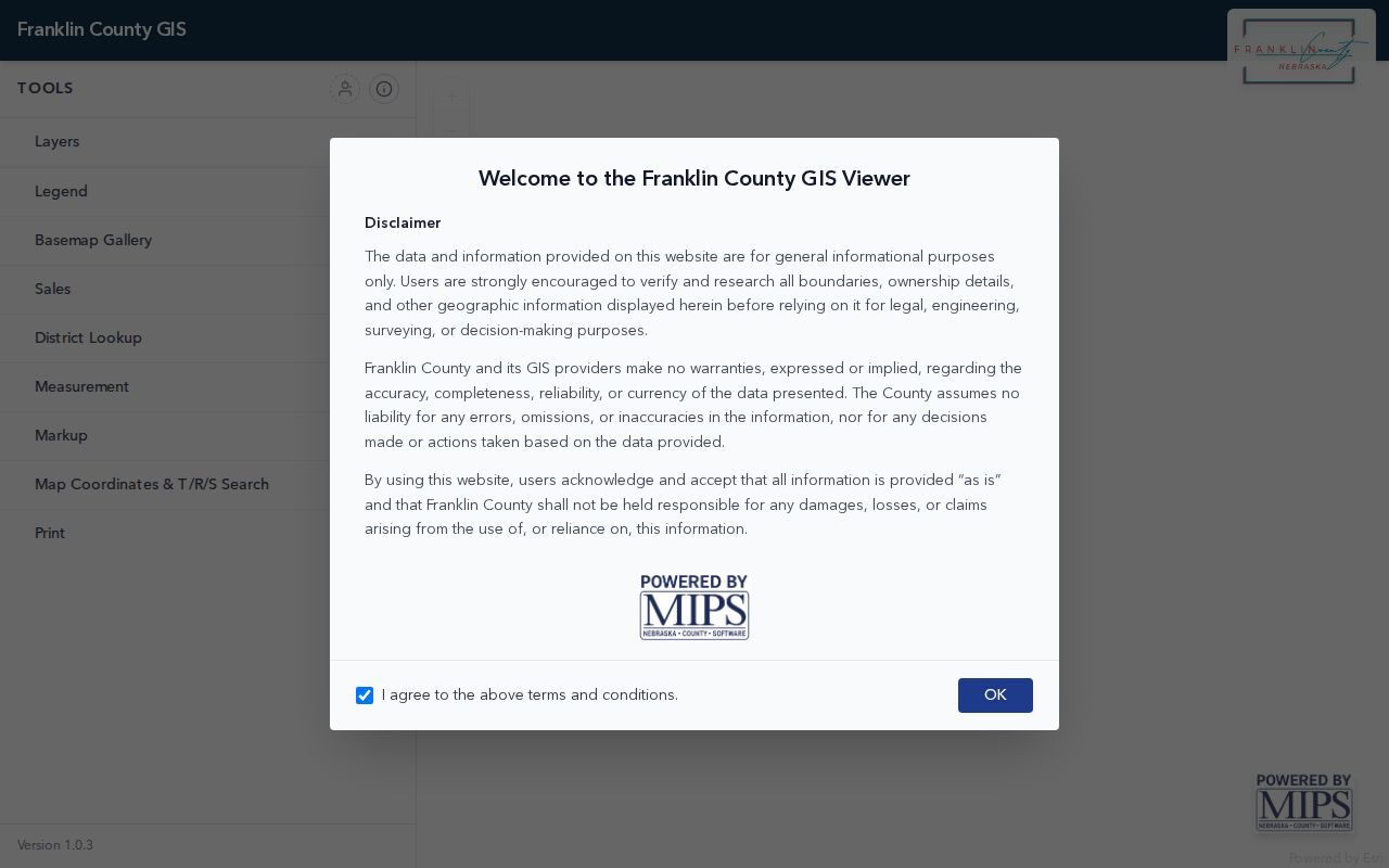
Use the mapped parcel ID as the stable key when spelling, numbering, or mailing text differs across Frankfort records.
Frankfort Street Records by Source
No custodian holds the whole Frankfort street directory. These records answer different questions. Join them with parcel number, legal description, address, and date instead of treating one name as occupancy proof.
| Address record | Local keeper | Street evidence | Access route |
|---|---|---|---|
| Property and tax roll | Franklin County PVA and collectors | Owner, situs, mailing, parcel, value | Web, phone, or counter |
| GIS parcels | Franklin County GIS | Address points, lots, layers, nearby parcels | Free viewer and map services |
| Deeds, liens, plats | County Clerk Deed Room | Parties, legal description, book and page | eCCLIX or terminal |
| Voter registration | State Board and County Clerk | Individual match or approved street output | VIC or SBE-84 request |
| Permits and code files | City or county planning | Work, notices, liens, case dates | Forms, counter, records request |
| Older directories | Kentucky Historical Society | Named occupants at publication | Catalog, room, or microfilm |
Four terms keep the chain clear:
- Parcel
- A mapped unit of land with a county identifier.
- Situs address
- The physical parcel location, which may differ from tax mailing.
- Plat
- A recorded drawing of lots, boundaries, streets, and subdivisions.
- Criss-cross directory
- An old directory arranged by street and house number.
Frankfort Owners Are Not Occupants
Official Frankfort sample cards show why address labels matter. A Brawner Street parcel links an estate-style owner to a record that the city viewer calls a vacant duplex. A Swigert Avenue parcel sends mail to Meadowview Drive. Another uses a care-of organization and includes code and abandonment facts. A South Lime file pairs estate or care-of mail with vacancy and lien context.
These are property facts, not a household roll. An owner can live elsewhere. An estate may remain after a death. A mailing address may belong to an agent. A vacancy note can change. Capture the roll date, then compare the deed, permits, and any lawful individual voter result.
Key distinction. A listed owner, a tax-mail recipient, and a person who occupies a Frankfort address may be three different people.
Frankfort Deeds Span Three Eras
The County Clerk records page documents deeds, mortgages, and wills indexed to 1795. Computer records and many lien searches begin in January 1981. A rolodex index continues through December 31, 2010. A modern owner can lead to books far older than the online interface.
Start with the current grantee, the buyer named in a deed. Capture document type, date, book and page, and legal description. Then search the prior grantor as a buyer in an older record. Keep parcels separate so a common surname does not merge unrelated land.
Plats were imaged beginning January 1, 2004, but availability still depends on the record and access route. The posted full-size copy prices are $3 for black and white and $5 for color. Verify current copy costs before ordering. A street directory research sheet should cite the instrument itself, not just a portal result that points toward it.
Remote eCCLIX access needs a login. A Franklin private-citizen account permits five personal, noncommercial searches daily. The Deed Room terminal is the fallback, and staff hold records but do not perform title searches.
The official eCCLIX login appears below with registration and credential controls.
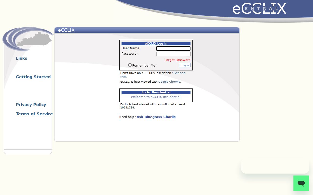
The screen is the remote doorway. The Deed Room stays vital for old books, unavailable images, and searches beyond the personal limit.
Frankfort Addresses in Permit Files
Permits and code records date work at a parcel. They do not identify everyone who lived there. Within city limits, Frankfort Planning and Community Development handles permits. The zoning form asks for location, work type, site plan, setbacks, attachments, and signature. Maintenance files may include a notice, citation, appeal, lien, or board record.
County jurisdiction uses Planning/Zoning at 321 W Main Street, 502-875-8701. The county links Iworq, but research found no public result index or start year. Its page directs applicants to bring forms and two plan sets to the office. For older files, provide address, permit type, and dates through the office or county open-records channel.
Note: Check GIS city limits and tax district before choosing the city or county custodian for a Frankfort mailing address.
Frankfort Voters by Street
Kentucky's Voter Information Center asks for legal first name, last name, and date of birth. It cannot search a street or return a block list. The separate SBE-84 request can specify household street or ZIP output, county or precinct scope, party options, inactive voters, paper, or electronic delivery.
Access requires an eligible purpose, oath, fees, and limits on resale. A result is only a registration snapshot. It omits nonvoters, may lag moves, and can use a protected substitute address.
Frankfort Street Numbers Follow a Grid
The subdivision and addressing plan explains a countywide scheme for new lots. Addresses follow the access street, with numbers at about 500-foot intervals. Four directional quadrants use primary routes and zero baselines. This helps compare an old street description with current points.
No official dated citywide renumbering project was found. When a directory address fails, bridge the gap with lot, block, subdivision, plat, and legal description. GIS shows today's point while deeds and plats preserve land identity through number or spelling changes.
Older Frankfort Street Directory Clues
The Kentucky Historical Society catalog documents selected Frankfort directories from 1884 through 2007. An entry may name a householder, spouse, occupation, and address on publication. Those volumes belong to the Frankfort city directory collection. Use them after parcel and deed work fixes the street and lot.
Public census schedules through 1950 can add household members. Library of Congress Sanborn maps from 1901 and 1912 show buildings, not residents. Newspapers and obituaries fill gaps. Paul Sawyier Public Library offers staff help, but its site lacks a year-by-year local-history inventory, so call first.
Historical material works best in dated pairs. Compare a directory year with the nearest public census, then use a Sanborn sheet to see whether the same structure or street label existed. If the family disappears, search the deed seller, obituary, probate file, and cemetery index. That method turns an older Frankfort street directory entry into a checkable trail without claiming it reflects the present.
Limits of Frankfort Street Records
A Frankfort street directory cannot prove that an owner sleeps at the property, list every household member, or reveal a protected address. Tax and deed records concern ownership. GIS concerns mapped land. A directory freezes one date. Voter files cover registered voters under controlled access. Permits concern work and public cases.
Safe at Home may substitute an eligible person's address. Sealed files and statutory redactions create lawful gaps. A missing name does not prove someone left Frankfort. Send factual errors to the custodian that owns the record and stop when confidentiality applies.
Lawful use. Frankfort address records support personal research, family history, property study, and civic transparency. Never use them to stalk, harass, intimidate, or harm anyone.